Scope of Work:
GPR survey execution for mapping exact alignment of existing underground ONGC pipeline
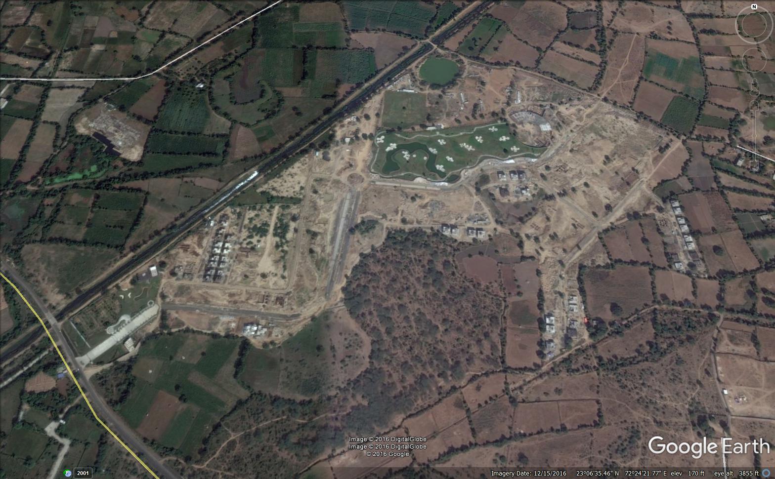
Location:
Ahmedabad, Gujarat, India.
Client:
Arvind Infrastructure Limited.
Equipment:
GSSI SIR-3000 equipped with 200 MHz and 400 MHz antenna
Challenges:
Undulated land for data collection, weak signal GPR data
Summary:
The GPR survey has been carried out on an stretch of about 400m with approximate
width of 20m at Arvind Uplands in Nasmed, Ahmedabad. The scope of project was
to map the alignment of an ONGC line expected to be at a depth of around 2 - 3m
to prevent the damage of the same while laying the new drainage line under the road.
It is also required to know the alignment of the existing line to plan the layout of the
new drainage line. Considering the visual inspection on site, depth requirement and
interactions with client, data has been collected using 400 MHz antenna along with SIR
300 GSSI GPR system to cover a depth upto 3 - 4m. The survey was conducted using SIR-3000 GSSI GPR system equipped with 400 MHz
antenna. The antenna frequency is chosen to achieve better depth of penetration with
fair resolution upto 3-4 m. The data collected from the site has been processed appropri-
ately and interpreted on the basis of the observed features. Over all two almost parallel
pipelines along the road could be interpreted on the basis of repeating impressions.
However, few extra high amplitude reections were observed, but due to unavailability
of data the corresponding utilities could not be confirmed.