Summary:
The GPR survey has been carried out at proposed location of new pipeline installation at
Navi Mumbai. The total length of road of width approximately 6-7 m scanned is approximately
1.4km. The scope of work includes the mapping of possible underground utilities upto
the depth of around 3 m using non-destructive Ground Penetrating Radar technology. The
purpose of the project is to plan the proper execution of proposed pipeline installation using
horizontal drilling. Considering the client’s requirements and the expected depth of the utilities,
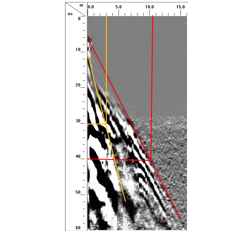
the area has been surveyed using 400 MHz center frequency antenna mounted with SIR
3000 GPR system to cover the depth upto 3 m with fair resolution. The purpose of the survey was to map all the underground utilities viz. cables, water lines,
gas lines, sewer line etc. upto the depth of 3 m using non-destructive technology (GPR). The
whole data is collected in numerous parallel profiles across the width as well as along the
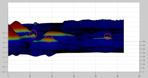
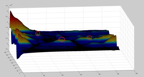
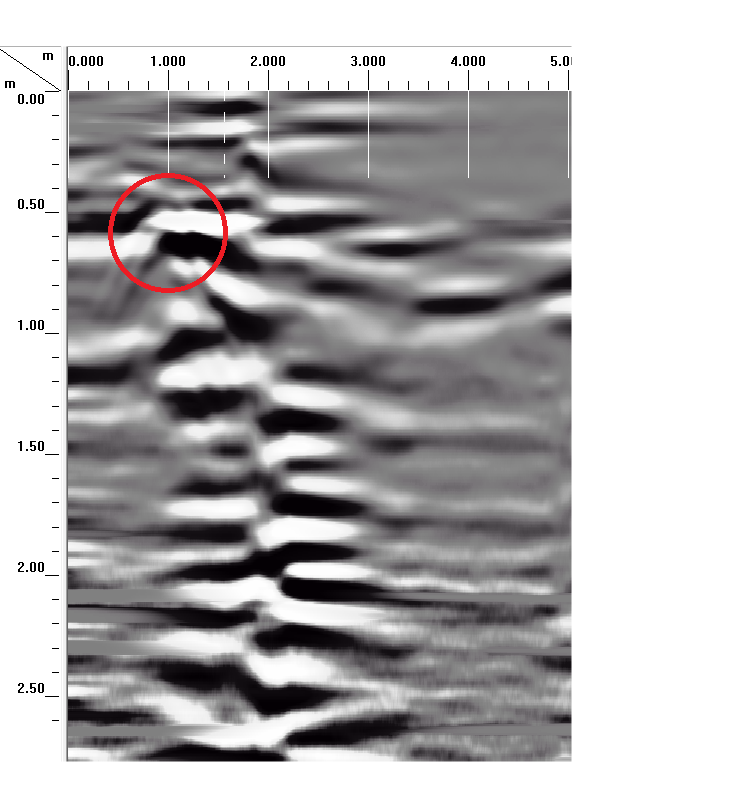
length of the road at a spacing of 15 m and 2.5 m, respectively. Overall three utilities are observed along the road at distance of 1.5 m, 3.0 m and 4.8
m from footpath edge, respectively. These utilities were found at depth of 0.3 m, 1.1 m and 1.3 , respectively. Few higher reflection points are also marked in the drawing.
Most of the utilities are found to be at an average depth of 0.5-0.9 m.
However, no utility is found to exist at a depth greater than 1.3.