
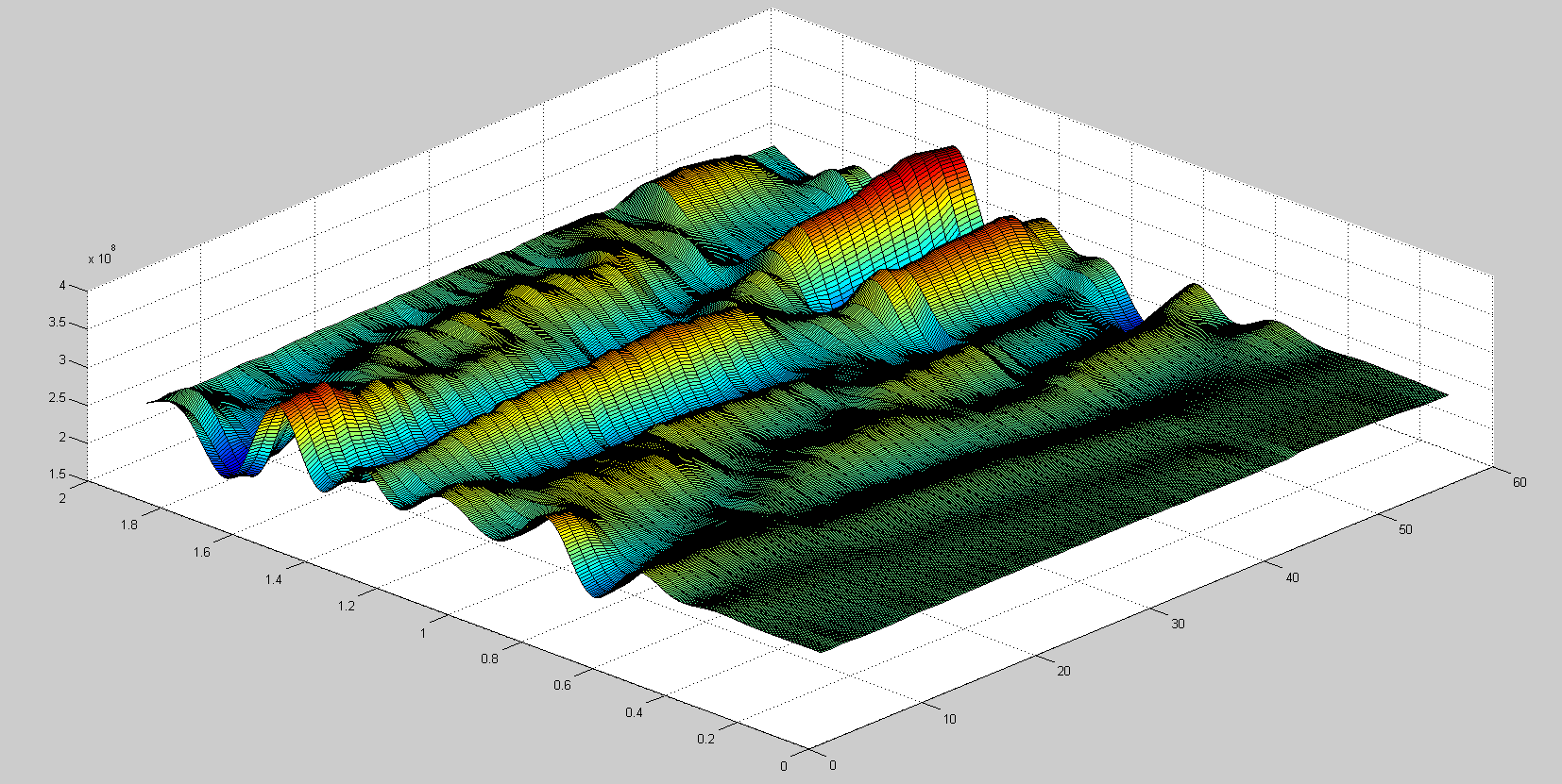
Prior to excavation of a site, an elaborate map of the sub-structure is to be drawn. GPR allows you to non- invasively determine
sub-surface artifacts, their location and composition to ensure none of the items are damaged while digging. Our understanding of GPR technology is
unparalleled encapsulating all dimensions from on-site data collection to data analysis, interpretation and developing plan view with marked outputs.
We at GeoCarte never stop getting better. Our technical team always strives to find better solutions to the challenging jobs.
Prior to excavation of a site, an elaborate map of the sub-structure is to be drawn. GPR allows you to non- invasively determine sub-surface artifacts, their location and composition to ensure none of the items are damaged while digging. Our understanding of GPR technology is unparalleled encapsulating all dimensions from on-site data collection to data analysis, interpretation and developing plan view with marked outputs. We at GeoCarte never stop getting better. Our technical team always strives to find better solutions to the challenging jobs.
Our Services
Utility Mapping
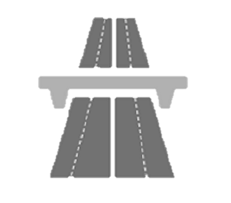
Highway Inspection

Archaeological survey

Structure inspection
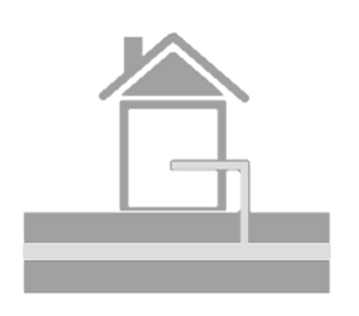
Watertable Mapping

Other Services